Work
Web maps, spatial analysis, and data products built around a clear question and a usable result.
Current GIS Work
Recent projects that best represent how I work now.
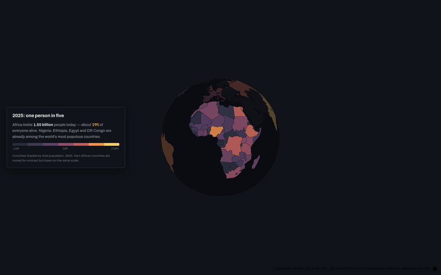
The Century of Africa
Scroll-driven MapLibre tour of Africa's population century — megacities, corridors, and Kinshasa from GHSL epochs.
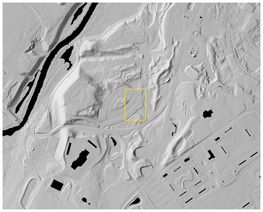
Lidar Site Studies
Four public-data case studies on what bare-earth lidar reveals under canopy — and what that changes about siting and earthwork cost.
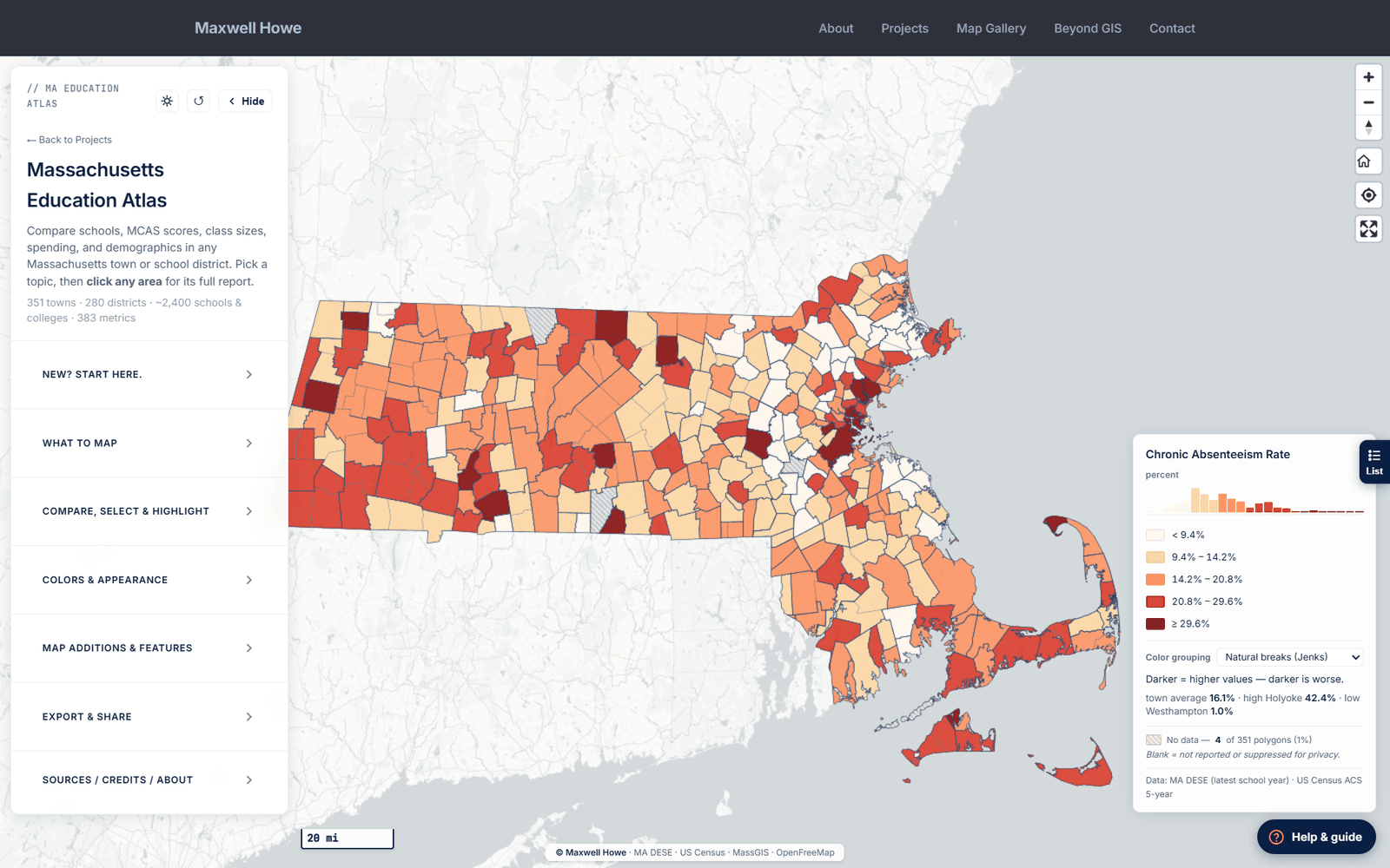
Massachusetts Education Atlas
Statewide interactive map of every public school and district in Massachusetts — 40+ metrics with ArcGIS-style controls.
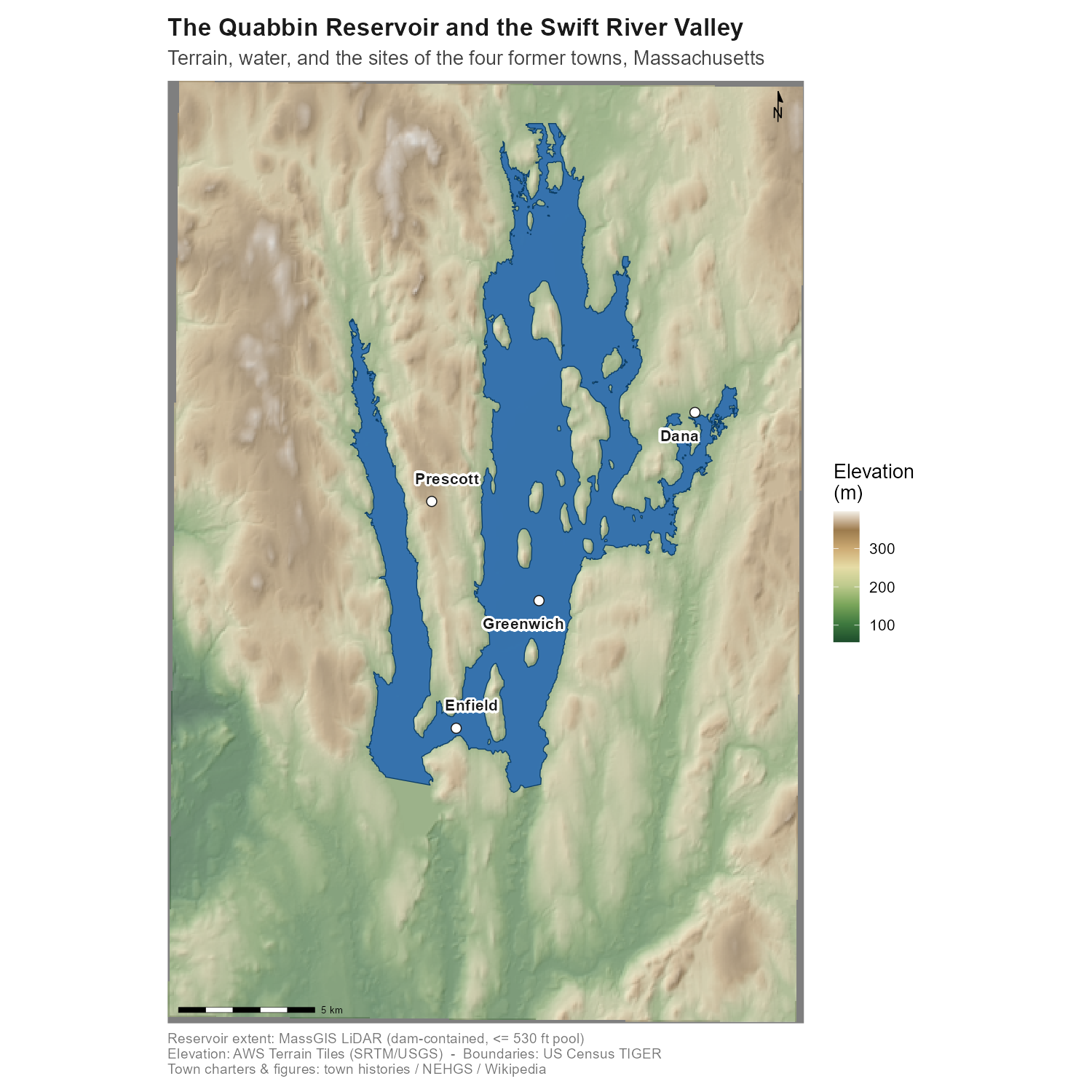
The Quabbin Reservoir and the Lost Towns of the Swift River Valley
Reproducible R GIS study of the Quabbin Reservoir and four lost Swift River Valley towns, with a LiDAR imprint explorer of the drowned villages.
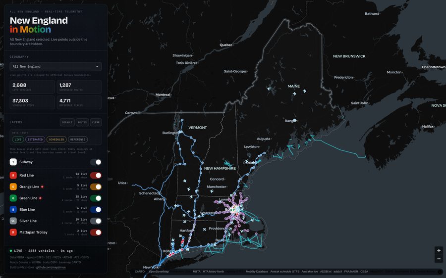
New England in Motion
Live map of transportation across all six New England states — transit, rail, vessels, aircraft, bikes, and traffic cameras.
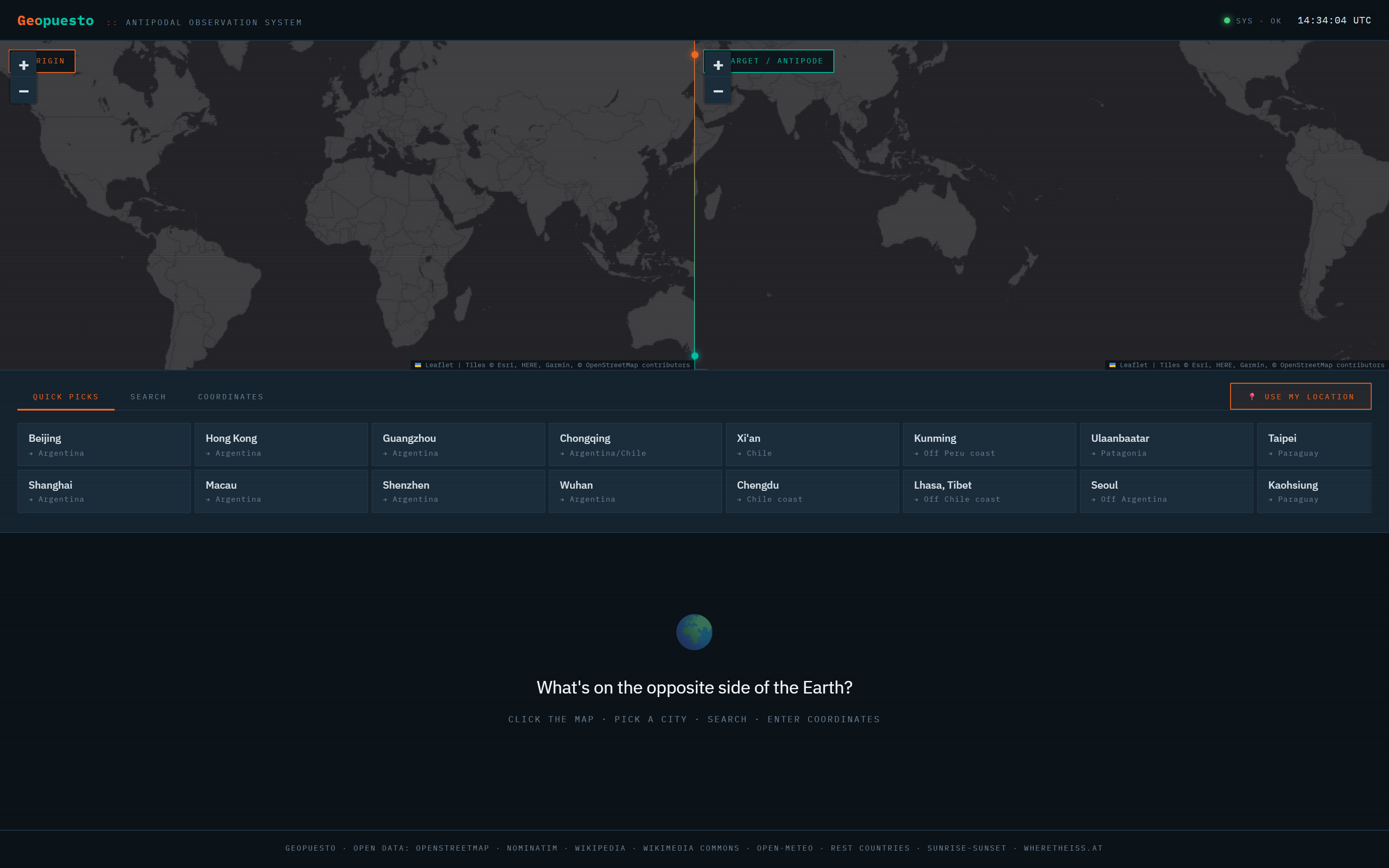
Geopuesto
Antipodal observation system — click anywhere on Earth and see what's on the opposite side, with weather, quakes, radio, and more.
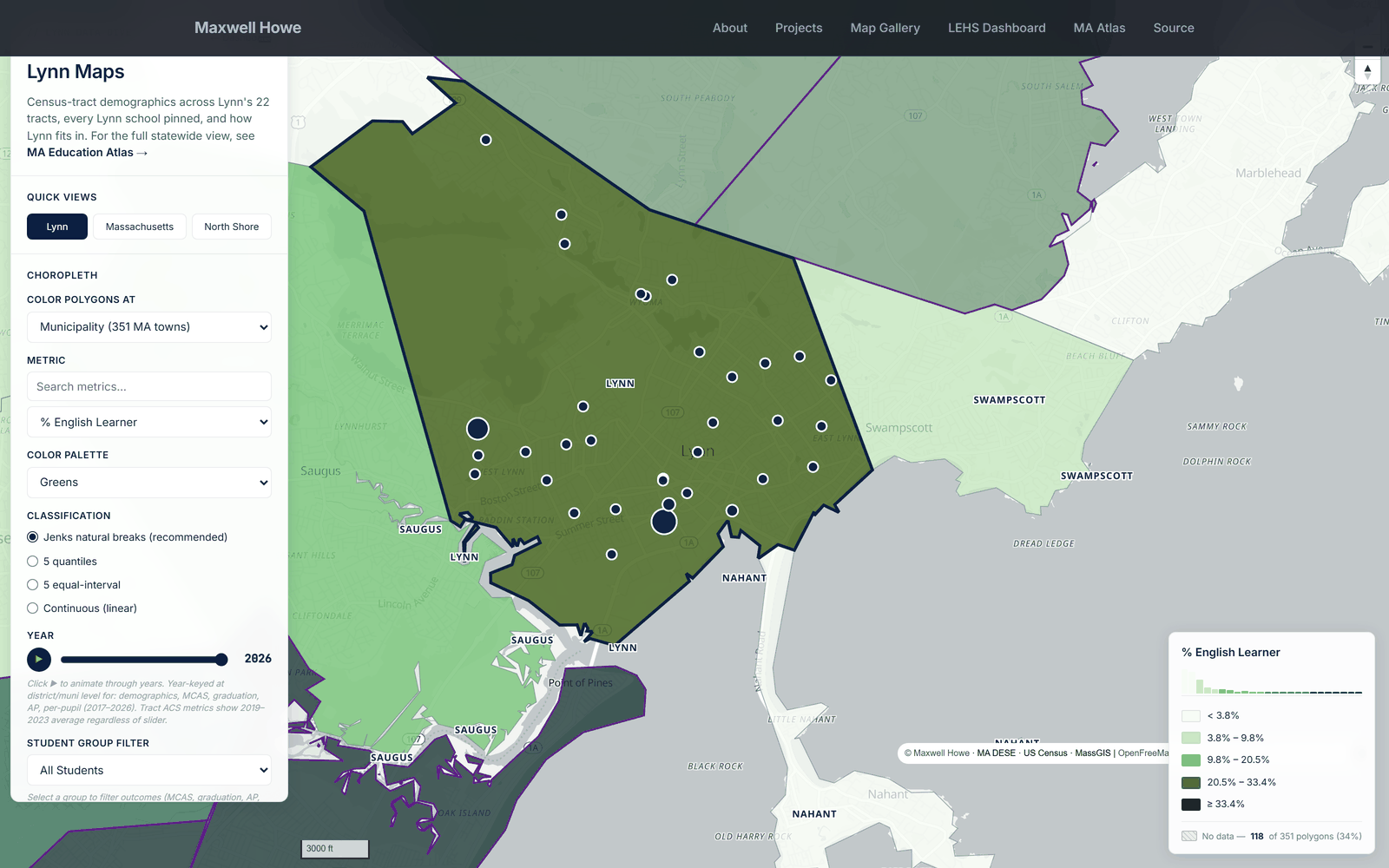
Lynn Data Dive
Public dashboard of every dataset touching Lynn English High School and the 26 MA Gateway Cities — maps, outcomes, and correlations.
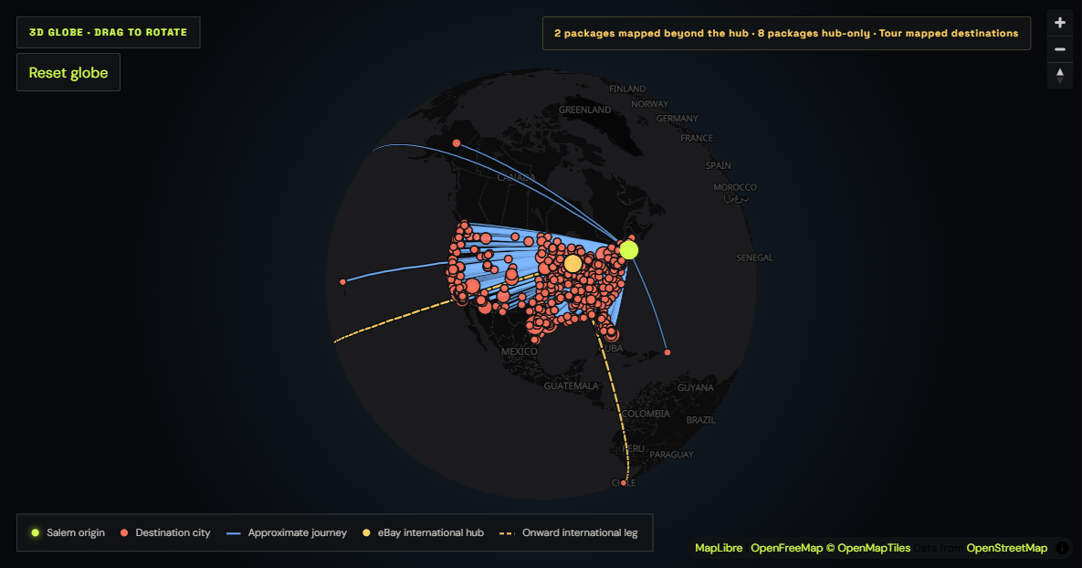
North Shore Nostalgia Sales Atlas
Privacy-conscious spatial analysis of 1,120 North Shore Nostalgia orders across 871 communities, with an interactive globe.
Selected Graduate Work
Applied studies from my M.S. in Geo-Information Science.
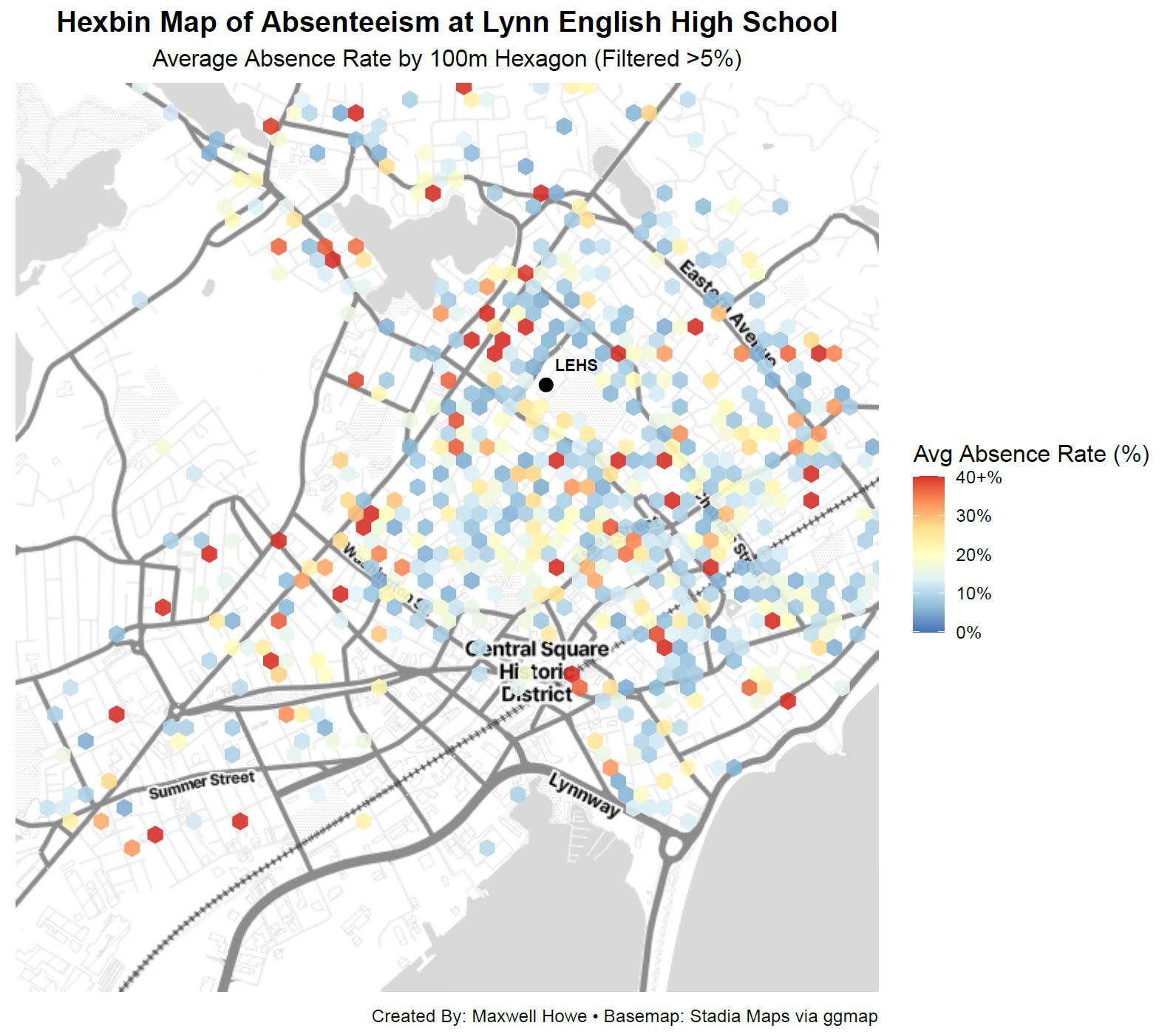
Chronic Absenteeism in Lynn Public Schools
Geocoded student addresses and correlated distance from school with chronic absenteeism rates across Lynn, MA — my capstone project for my MS program.
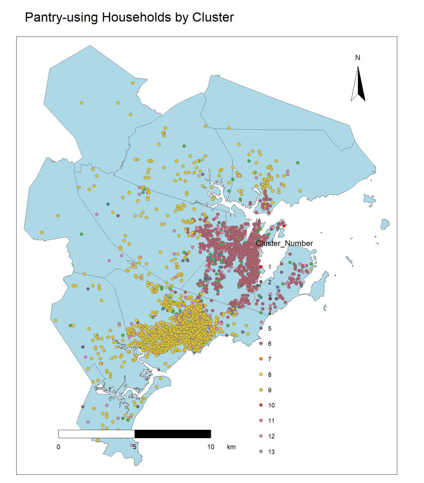
Salem Pantry: Mapping Food Access
Analyzed 150,000 rows of client data for the Salem Pantry using R — identified underserved areas and used random forest modeling to find similar populations statewide.
Additional Builds
Smaller builds and side products that sit alongside the featured case studies.
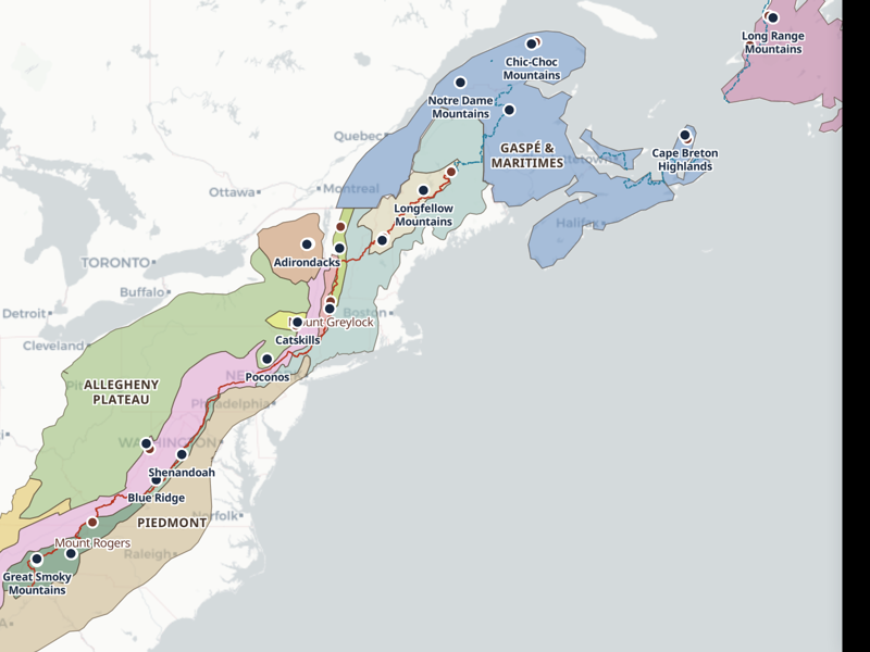
The Appalachians — Regions Explorer
Interactive map of the entire Appalachian range, Georgia to Newfoundland — its geologic regions, named ranges, summits, and both the Appalachian and International Appalachian…
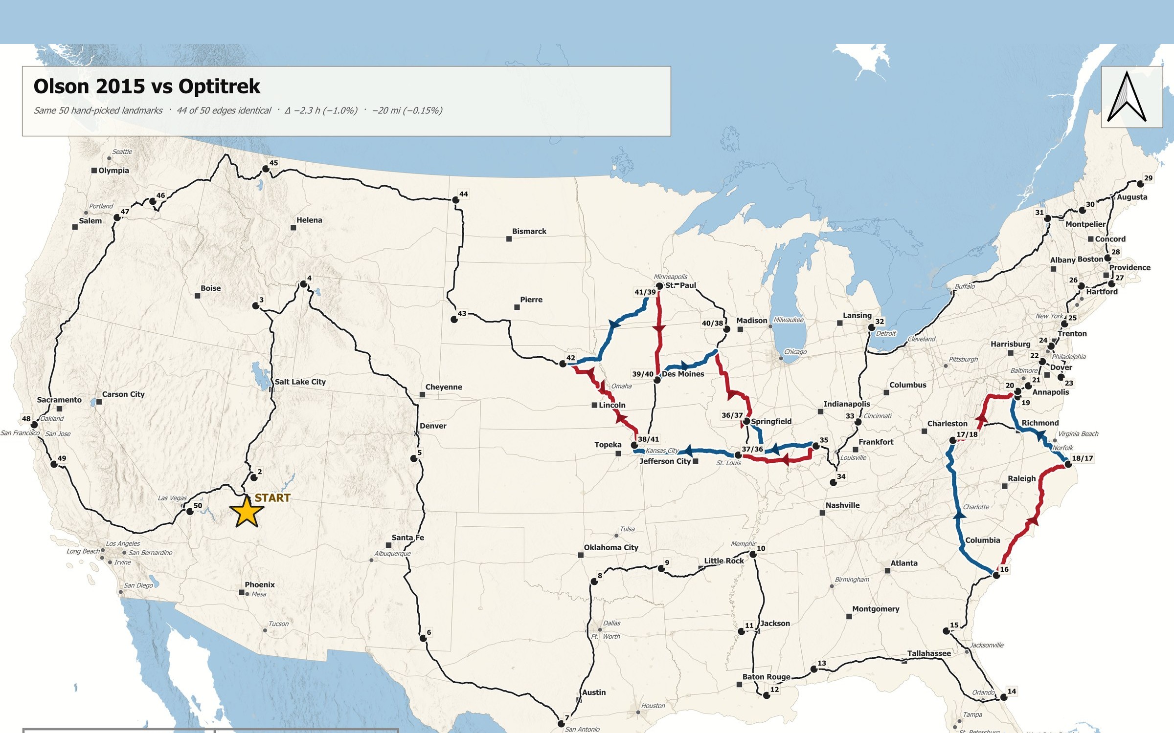
Optitrek
An algorithmic U.S. road-trip optimizer using a 400-plus-place National Park Service candidate pool, constrained TSP methods, and self-hosted OSRM routing. The data layer is…

TappyMaps
A web-based GIS application for map design — drag, color, and export custom maps. Includes geography games and a sharing gallery. Live at tappymaps.com.