The Appalachians — Regions Explorer
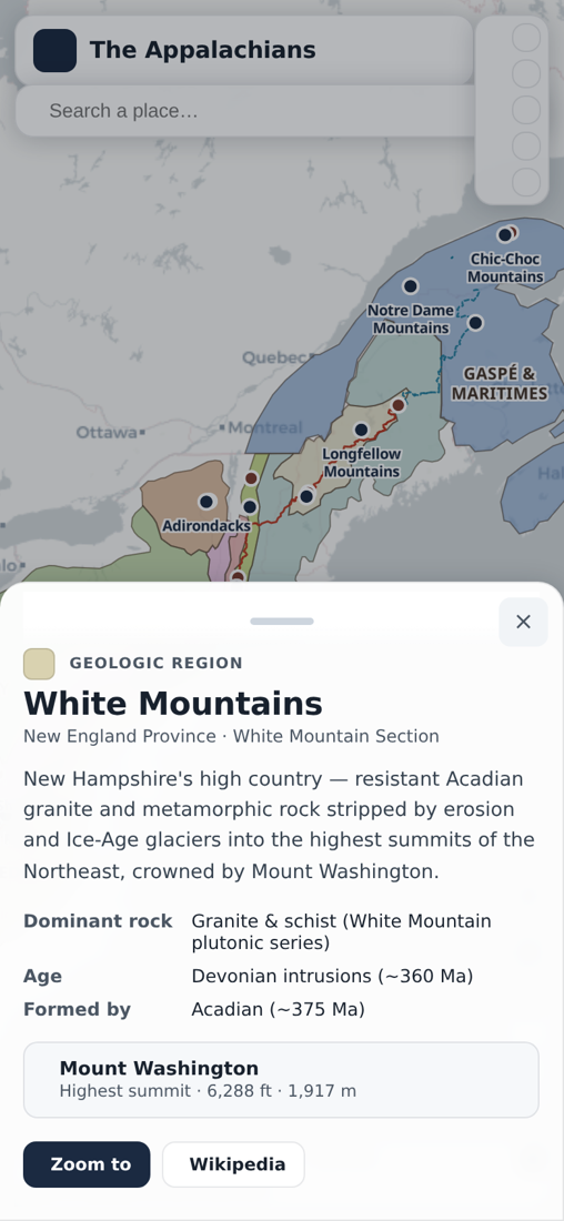
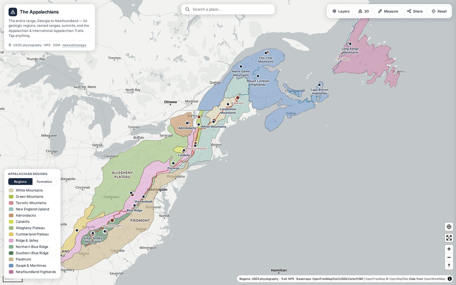
Interactive map of the entire Appalachian range, Georgia to Newfoundland — its geologic regions, named ranges, summits, and both the Appalachian and International Appalachian Trails. Tap any region or range for its geology, formative orogeny, and highest peak.
My role
I assembled and simplified the physiographic, trail, summit, and geology data, then designed and built the mobile-first MapLibre application.
Approach
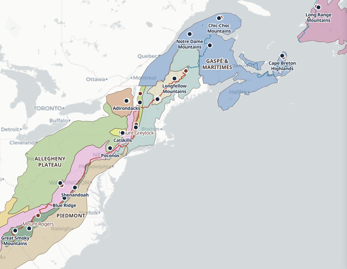
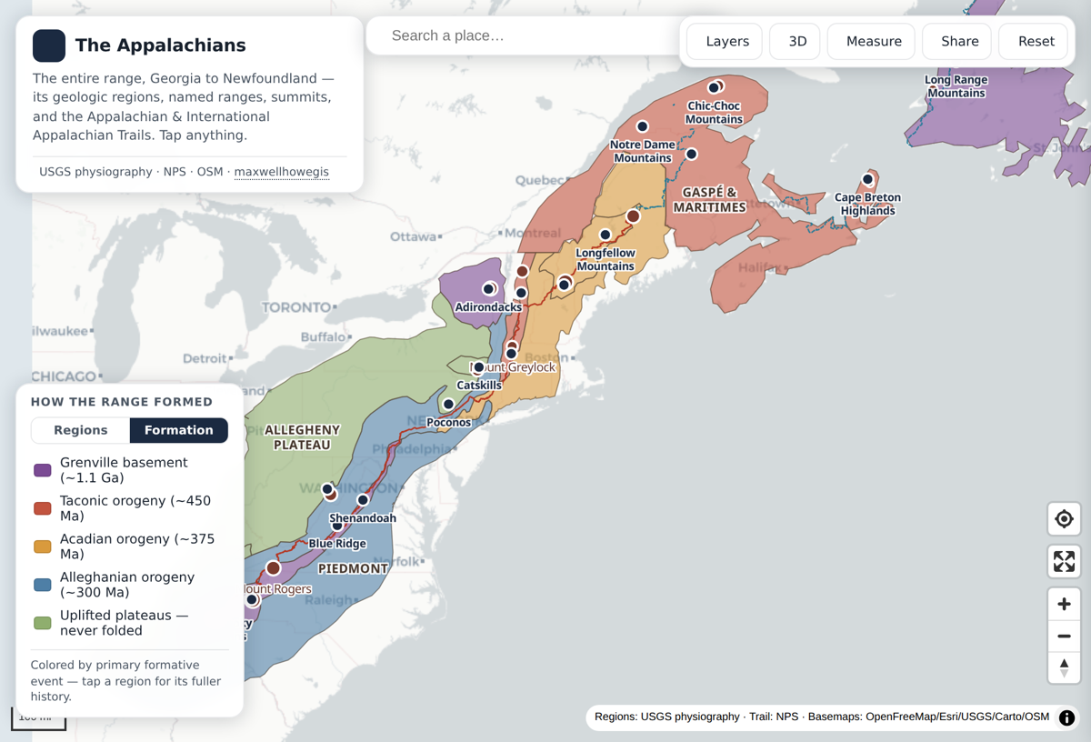
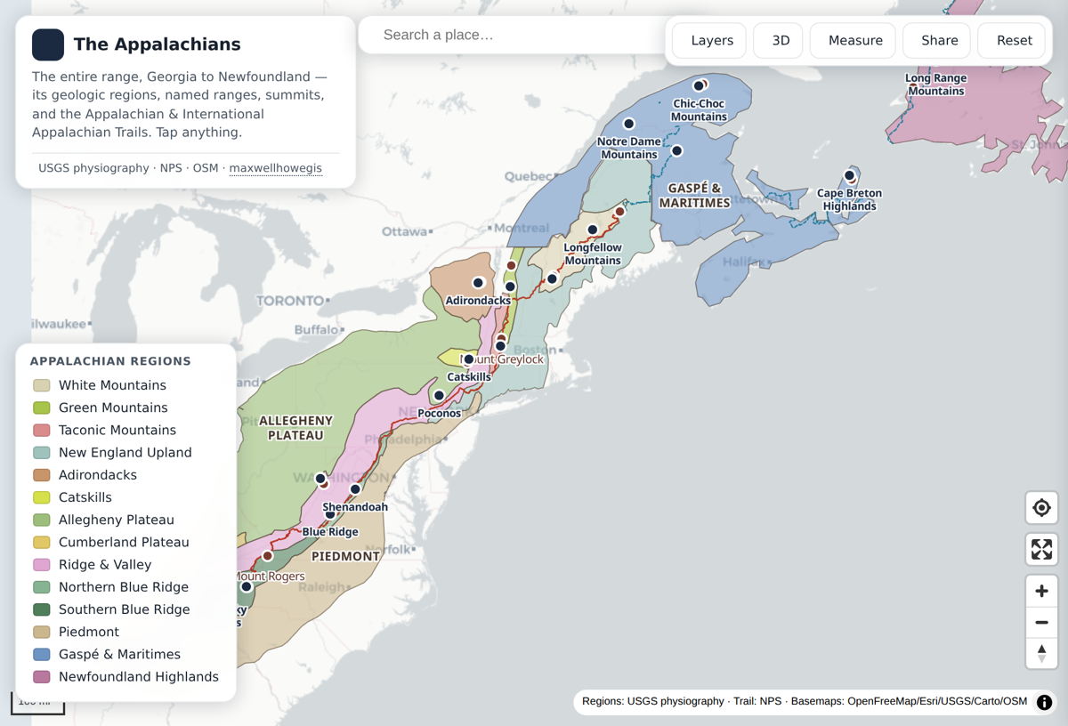
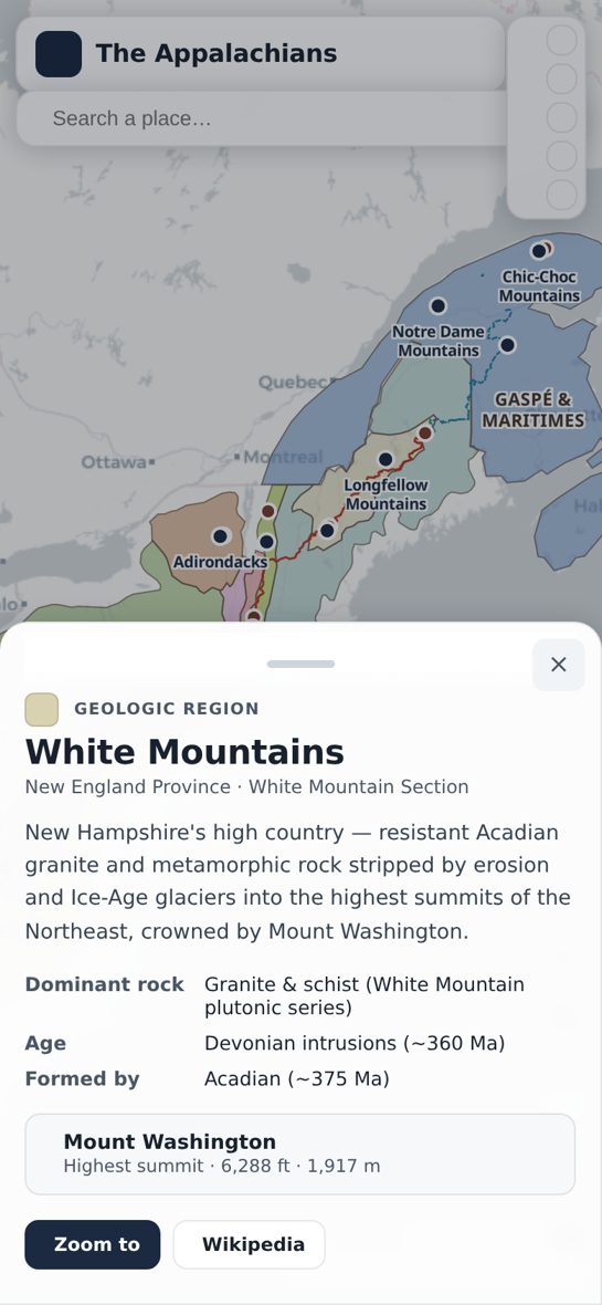
An interactive map of the whole Appalachian system, from the Great Smoky Mountains in the south to the Long Range Mountains of Newfoundland in the north. The U.S. regions — Blue Ridge, Ridge & Valley, the Appalachian Plateau, the New England Upland, the Adirondacks, and the Piedmont — are dissolved straight from the USGS Physiographic Divisions (Fenneman & Johnson, 1946); the Canadian Appalachians (Gaspé/Chic-Chocs, the Maritimes, and the Newfoundland Long Range) extend the range across the border. On top sit named ranges (Great Smokies, Shenandoah, Catskills, White Mountains, Chic-Chocs, Cape Breton Highlands and more), notable summits from Mount Mitchell to Gros Morne, and the full Appalachian Trail plus its Canadian continuation, the International Appalachian Trail. Tap a region or range for its dominant rock, age, the orogeny that built it (Grenville, Taconic, Acadian, or Alleghanian), and its highest summit. Six keyless basemaps, a layers panel with per-layer opacity, place search, a measure tool, 3D terrain, and shareable view links. Mobile-first, built as a single self-contained MapLibre page with static GeoJSON — no build step, no API keys.
Result
The finished explorer connects the range's physical geography with its geology in one keyless, shareable web map.
Figures