Maxwell Howe
I build web maps and spatial data tools that turn complex information into something people can use.
Open to GIS developer and spatial analysis roles — New England hybrid or remote worldwide.
Now
Maps, analysis, and working products
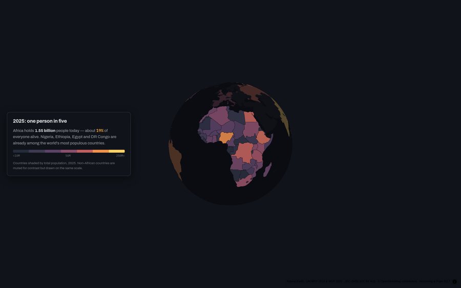
The Century of Africa
Scroll-driven MapLibre tour of Africa's population century — megacities, corridors, and Kinshasa from GHSL epochs.
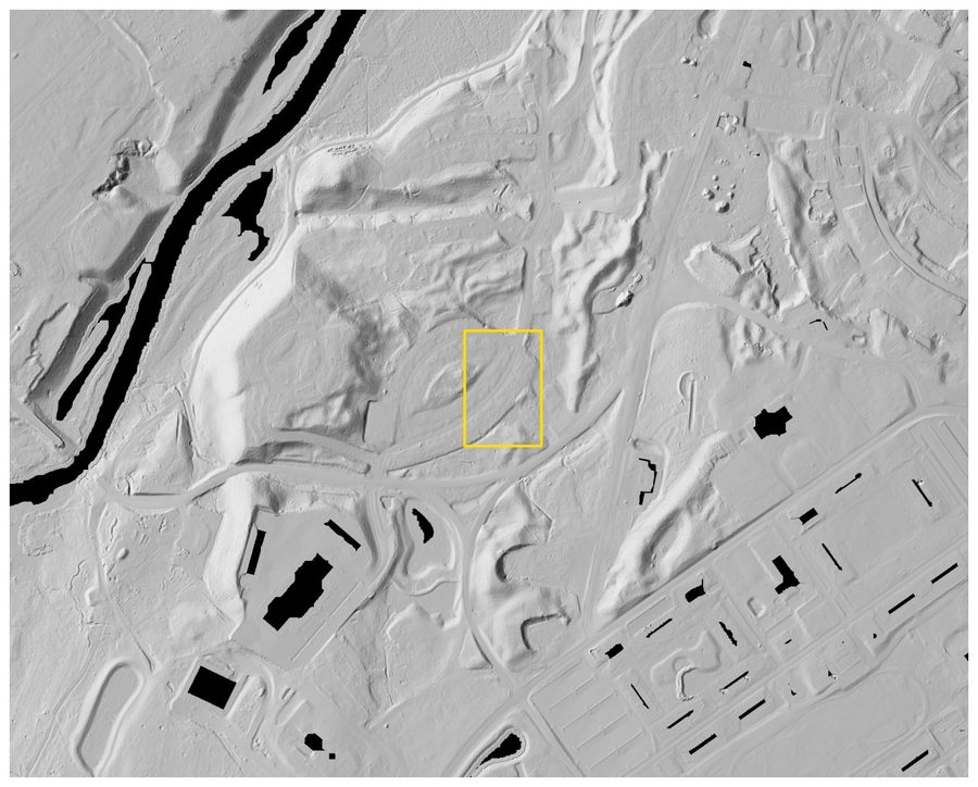
Lidar Site Studies
Four public-data case studies on what bare-earth lidar reveals under canopy — and what that changes about siting and earthwork cost.
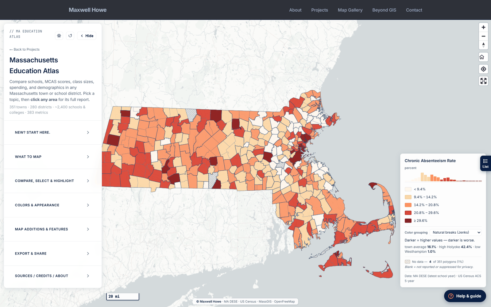
Massachusetts Education Atlas
Statewide interactive map of every public school and district in Massachusetts — 40+ metrics with ArcGIS-style controls.
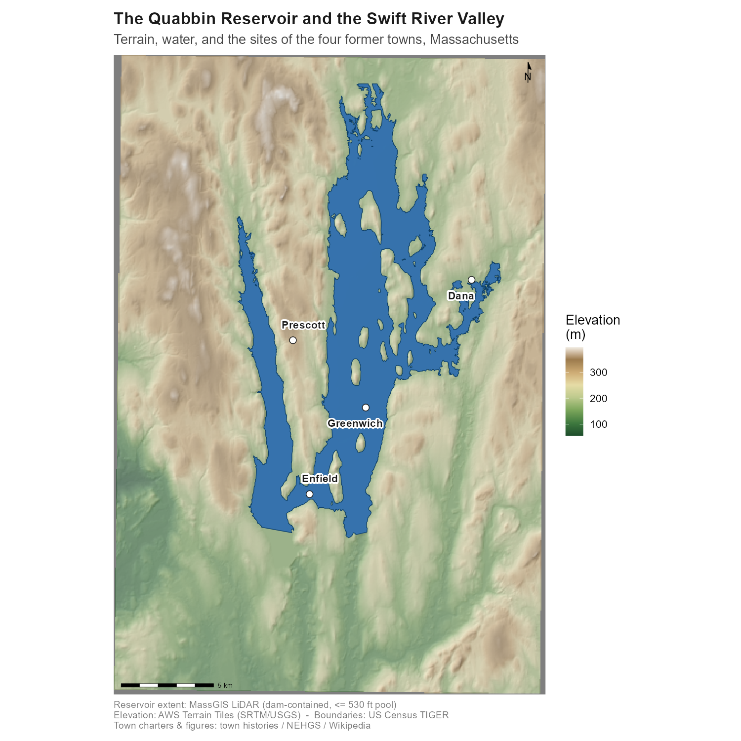
The Quabbin Reservoir and the Lost Towns of the Swift River Valley
Reproducible R GIS study of the Quabbin Reservoir and four lost Swift River Valley towns, with a LiDAR imprint explorer of the drowned villages.
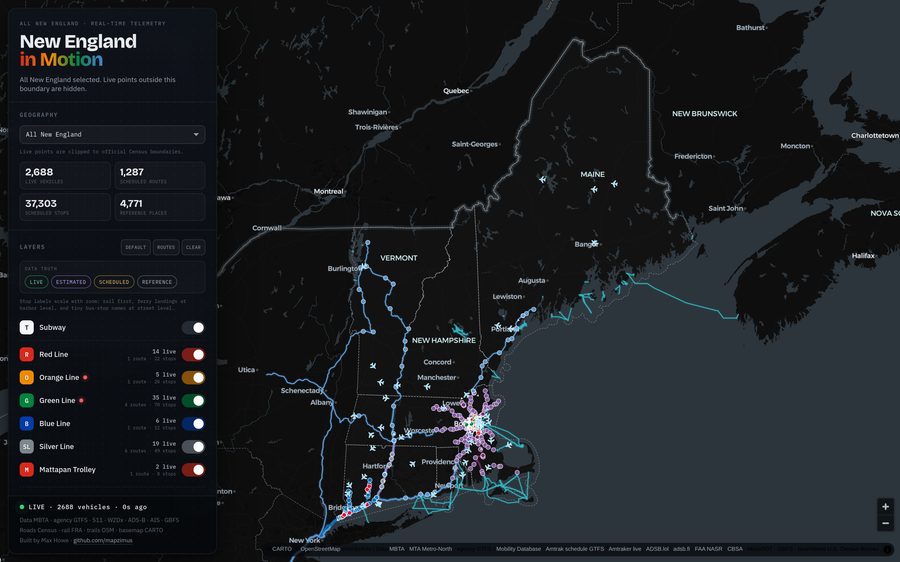
New England in Motion
Live map of transportation across all six New England states — transit, rail, vessels, aircraft, bikes, and traffic cameras.
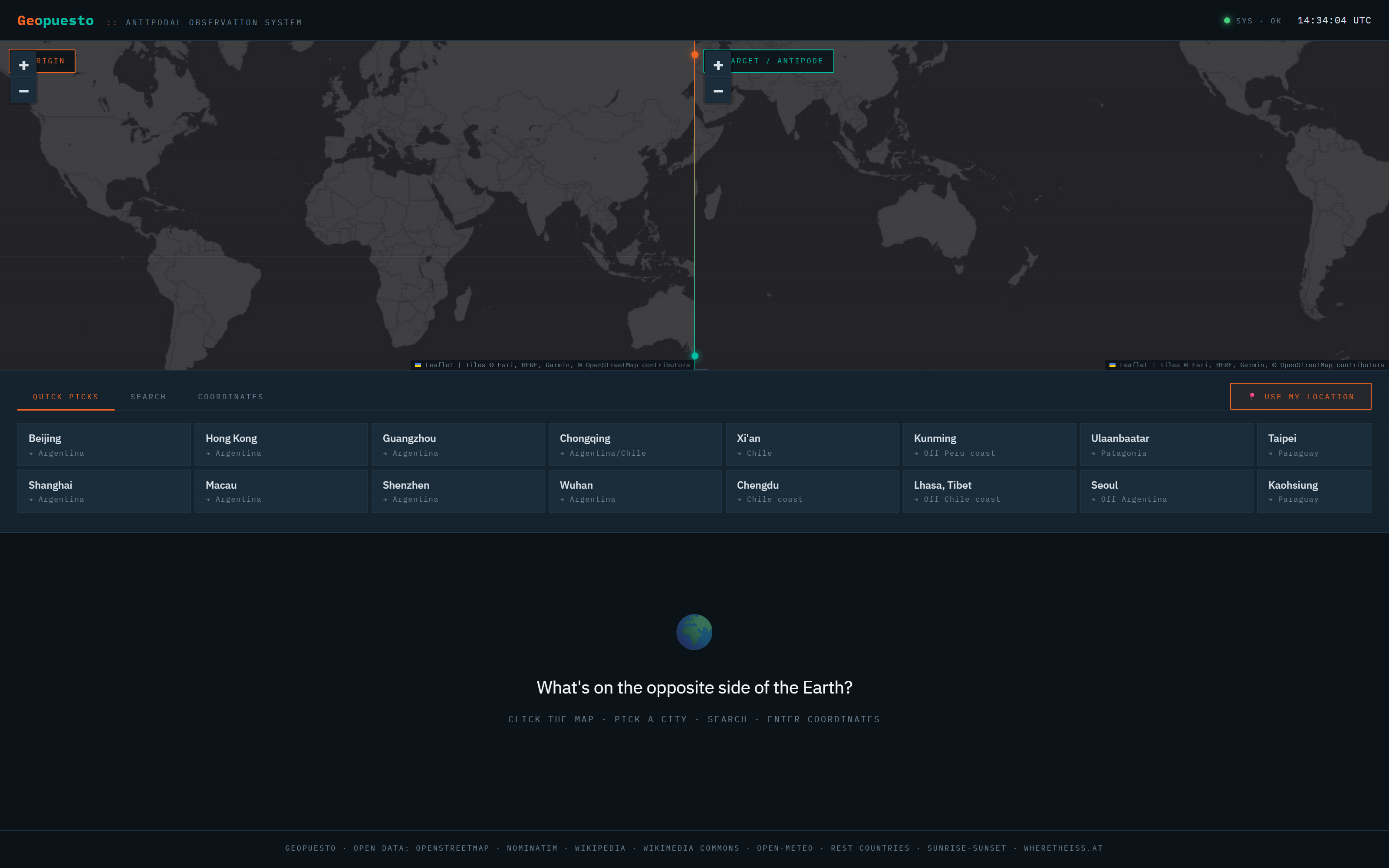
Geopuesto
Antipodal observation system — click anywhere on Earth and see what's on the opposite side, with weather, quakes, radio, and more.
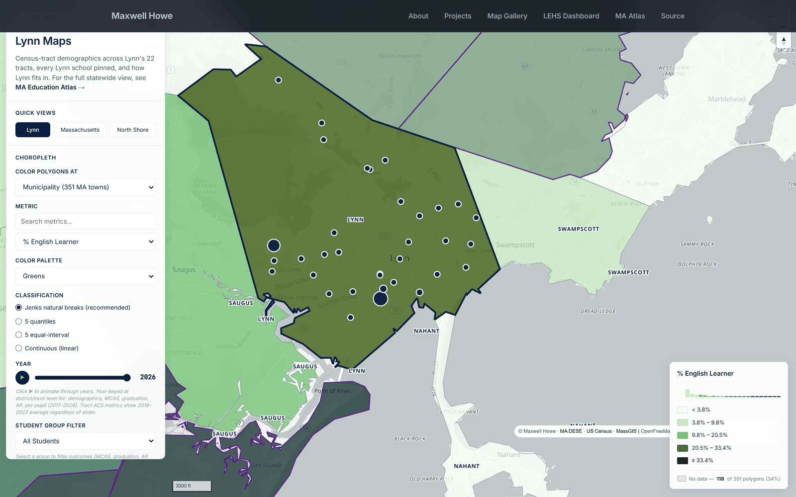
Lynn Data Dive
Public dashboard of every dataset touching Lynn English High School and the 26 MA Gateway Cities — maps, outcomes, and correlations.
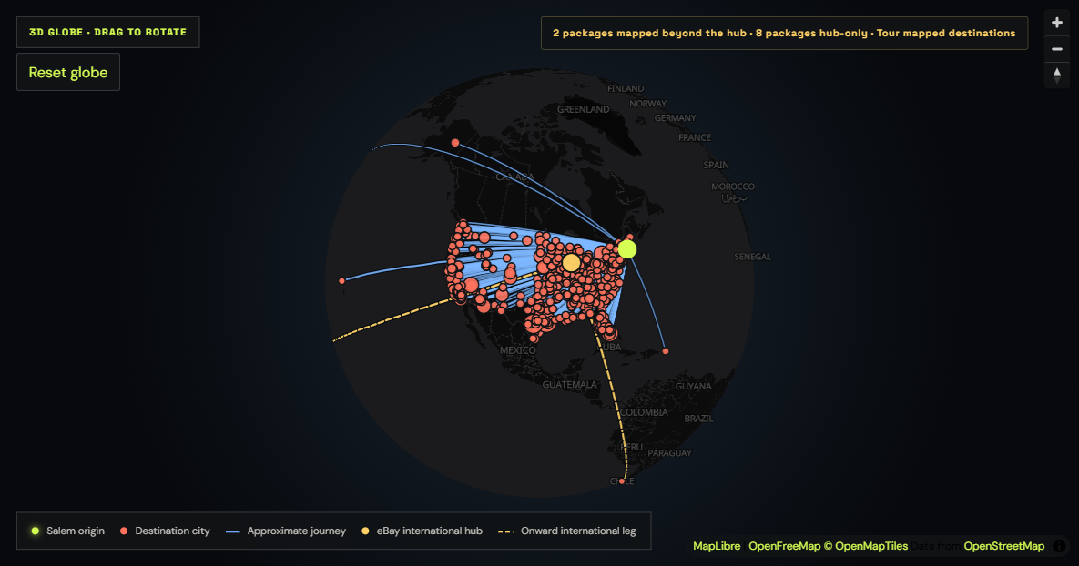
North Shore Nostalgia Sales Atlas
Privacy-conscious spatial analysis of 1,120 North Shore Nostalgia orders across 871 communities, with an interactive globe.