TappyMaps
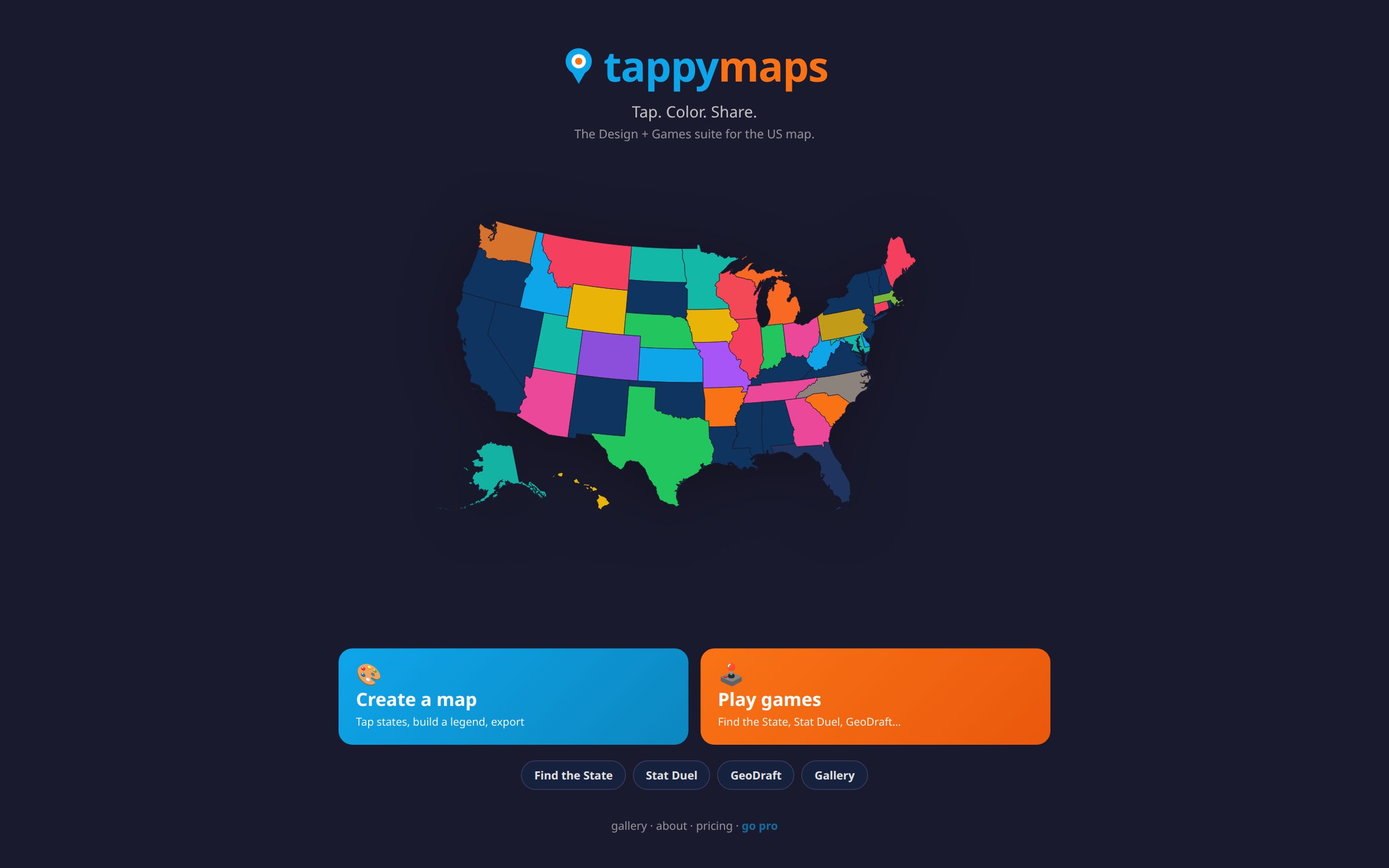
A web-based GIS application for map design — drag, color, and export custom maps. Includes geography games and a sharing gallery. Live at tappymaps.com.
My role
I designed and built the browser-native map editor, export workflow, and supporting map games as an independent product.
Approach
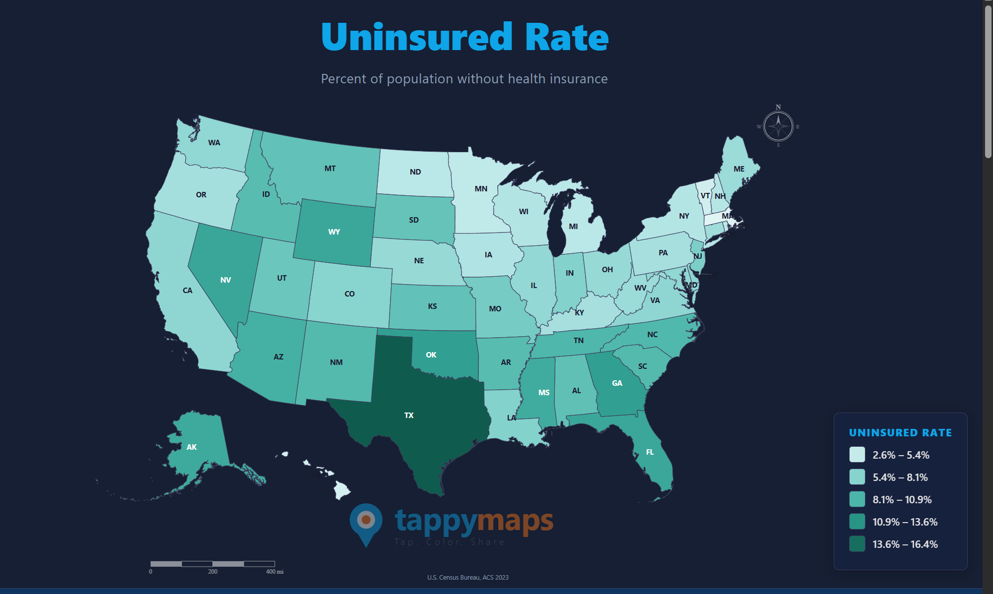
TappyMaps is a browser-native map design and geography-games suite for the United States. The designer lets anyone tap states or counties, build a legend, and export a finished map without desktop GIS software. Companion games — Find the State, Stat Duel, and GeoDraft — turn the same geography into short classroom-friendly challenges. A sharing gallery collects finished cards so maps can travel beyond the editor. Built as an independent product under the Mapparatus umbrella and live at tappymaps.com.
Result
TappyMaps gives non-GIS users a lightweight way to color, label, and export U.S. state and county maps without desktop software.
Figures